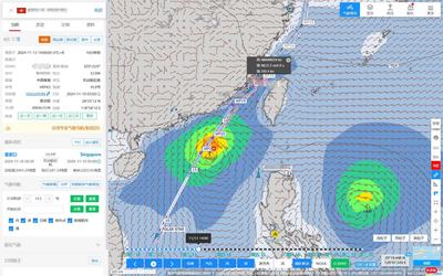
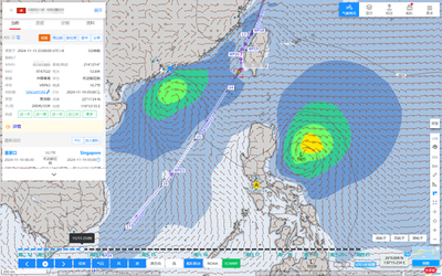
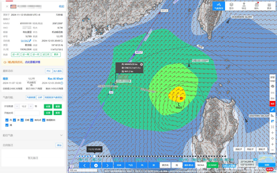
HIFLEET Weather Routing
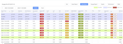
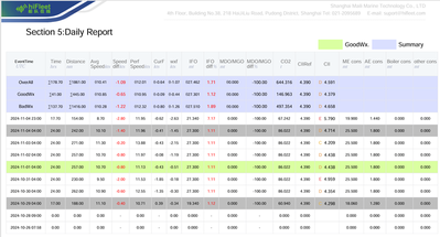
1.Good/Bad Weather Ship Operation Data Analysis
- Good/Bad Weather Days Count
- Current/Wave/Wind-effects to vessel’s speed
- Fuel/Speed Daily Monitoring
- Daily Carbon Emission Monitoring
- Daily CII Rating Calculation
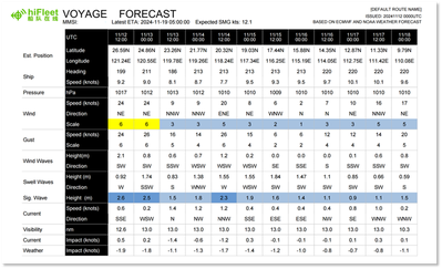
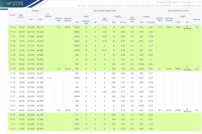
2.Weather Reports Along Route Plan
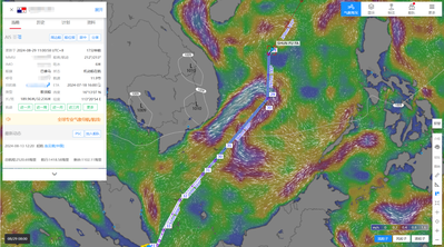
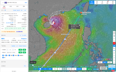
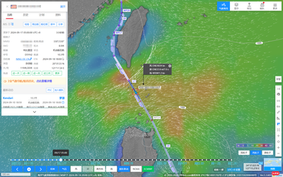
- 6-day weather forecast along the ship's planned route
- Predict ship speed based on currents and weather
- Send updated weather forecasts to ships 1–4 times daily as needed
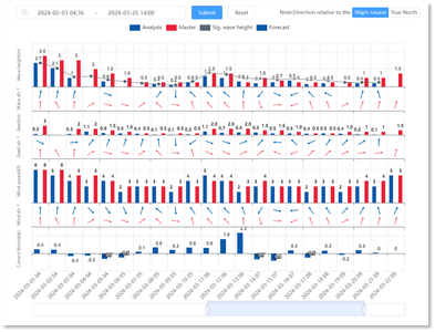
3.Graphical Comparison of Forecast and Ship-Reported Meteorological Data
- Graphical comparison of wind, wave, swell and current data
- Show the relative bearing between wind, waves, and ship's heading or northward direction
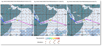
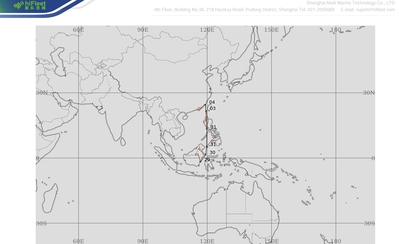
4.Route Optimization
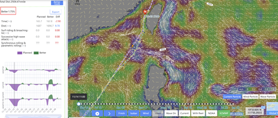
- Optimize routes for energy savings and emission reduction
- Show percentage of energy savings and compare remaining distance/time with the original route
- Compare surf-riding & broaching-to, successive high-wave attack, synchronous rolling & parametric rolling between original and optimized routes
- One-click download of optimized way points for ship reference
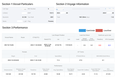
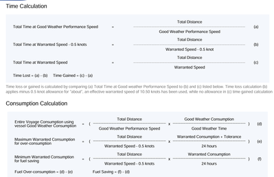
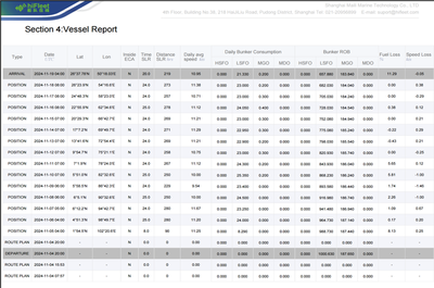
5.Vessel Voyage Performance Report Sample
Get quotation to contact wx@hifleet.com
HiFleet Successfully Completes Meteorological Navigation Service for First Deck Cargo Ship
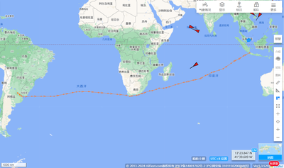
On the morning of June 8, 2024, local time, a deck cargo ship equipped with HiFleet's meteorological navigation services safely arrived at a port in southern India. The ship, with a deadweight of nearly 10,000 tons, is 136 meters long, 52 meters wide, and has a draft of 4.5 meters. It departed from a southern Chinese port in early May, carrying container cranes, and traveled through the South China Sea, Singapore Strait, Malacca Strait, and the Indian Ocean.
This marks HiFleet’s first meteorological navigation service for a deck cargo ship. Deck cargo ships carrying large and heavy items are particularly sensitive to the effects of strong winds on vessel stalling and rolling. The traffic flow and wind conditions during the voyage were complex and variable. At the beginning of the voyage, the captain and manager relied on their experience. Shortly after passing the Malacca Strait on the morning of May 19, the ship encountered strong winds and rough seas, forcing it to anchor at a nearby anchorage. On the evening of May 24, the ship began using HiFleet’s meteorological navigation service and set sail. Throughout the navigation service, the platform maintained smooth communication with the captain and ship management, continuously monitoring the vessel’s meteorological conditions and speed, promptly recommending optimized routes, and updating the latest weather forecasts four times a day. The ship chose to sail south along the equatorial calm belt and west across the Indian Ocean during the monsoon window. The vessel safely reached its destination without incident, and the meteorological navigation service received high praise and recognition from both the captain and manager.
HiFleet’s platform meteorological navigation feature enables clients to design and optimize their own routes, provide professional weather forecasts along the route, analyze speed and fuel consumption data, and present various key parameters with rich graphics and text, all with one-click export of weather reports. The HiFleet meteorological navigation service team looks forward to providing professional meteorological navigation services to a broad range of clients.
Hiring Commercial Representative for Ship Weather Navigation and Route Optimization 🌻 🥂
Full-time mode
Location: Guangzhou/Shenzhen/Xiamen/Fuzhou/Ningbo/Nanjing/Qingdao/Tianjin/Dalian Home Office
Job Description: Visit relevant departments of shipping companies to promote ship weather navigation and route optimization products, and guide ships to use the products.
Requirements: College degree or above, with experience as second officer or above.
Salary and benefits: favorable treatment, Shanghai five insurance and one gold, after three years can be settled in Shanghai.
Please send your resume to: wangjia@hifleet.com
Part-time Mode
Job Description: Promote ship weather navigation and route optimization products to the relevant departments of shipping companies, and guide ships to use the products.
Reward: High commission
Please send your resume to wx@hifleet.com
Captain Liu recently completed the Lianyungang to Singapore route air guidance services, through route optimization, in the South China Sea to avoid the countercurrent 2.1 knots, the use of downstream 1.2 knots, to help the charterer to save a few tons of oil, the charterer is quite satisfied. Route optimization is also suitable for shorter routes such as China-Southeast Asia 👍
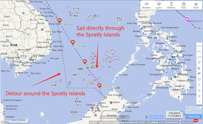
Route Optimization Case Study
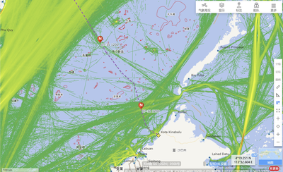
Route: Qinzhou, China → Kota Kinabalu, Malaysia
The original plan was to detour south of the Spratly Islands. By analyzing historical tracks of similar vessels, we identified a safe shortcut through the islands.
✅ 150 nautical miles shorter
✅ Nearly 20 hours saved
✅ Over 10% fuel savings
Data-driven route planning — cutting costs and boosting efficiency, made simple!


